Spring in California usually means blooming poppies and the first real heatwaves of the year. Not this time. A massive cold front is currently diving down the West Coast, flipping the script on what March and April should feel like. If you're in Los Angeles, you're looking at a gray, drizzly mess. If you're heading toward the Sierra Nevada or the Grapevine, you better have chains in the trunk.
This isn't just a light dusting. It's a significant weather shift that's catching people off guard because, frankly, we’re all ready for summer. The reality is that a series of low-pressure systems are stacking up over the Pacific, and they’re aimed right at the Golden State.
The Sierra Snowpack Gets a Late Season Bonus
Most people think the snow season ends in February. That’s a mistake. Some of the most intense accumulation happens during these "shoulder" months. The current storm is dumping serious powder across the Sierra Nevada. We're talking about several inches—and in some high-altitude spots, over a foot—of fresh snow.
For the ski resorts, it’s a dream. For travelers, it’s a nightmare. The National Weather Service has already issued winter weather advisories for the higher elevations. This isn't just "mountain weather." It’s a legitimate hazard. Visibility can drop to near zero in minutes when these cold cells move through. I’ve seen drivers get stuck on I-80 for hours because they thought their all-season tires could handle a spring flurry. They couldn't.
Why This Cold Air is Different
Usually, California storms are "warm" because they pull moisture from the tropics—the famous Atmospheric Rivers. This current setup is different. The air is coming from the Gulf of Alaska. It’s frigid. Because the air is so cold, the snow levels are dropping much lower than we’ve seen recently. We’re seeing snow on peaks that are usually just rainy this time of year.
It’s a sharp reminder that the drought-busting winters of the last couple of years aren't quite finished with us. Even though the state’s reservoirs are in much better shape than they were three years ago, this extra snowpack acts like a frozen bank account. It’ll melt slowly, keeping the rivers flowing well into July.
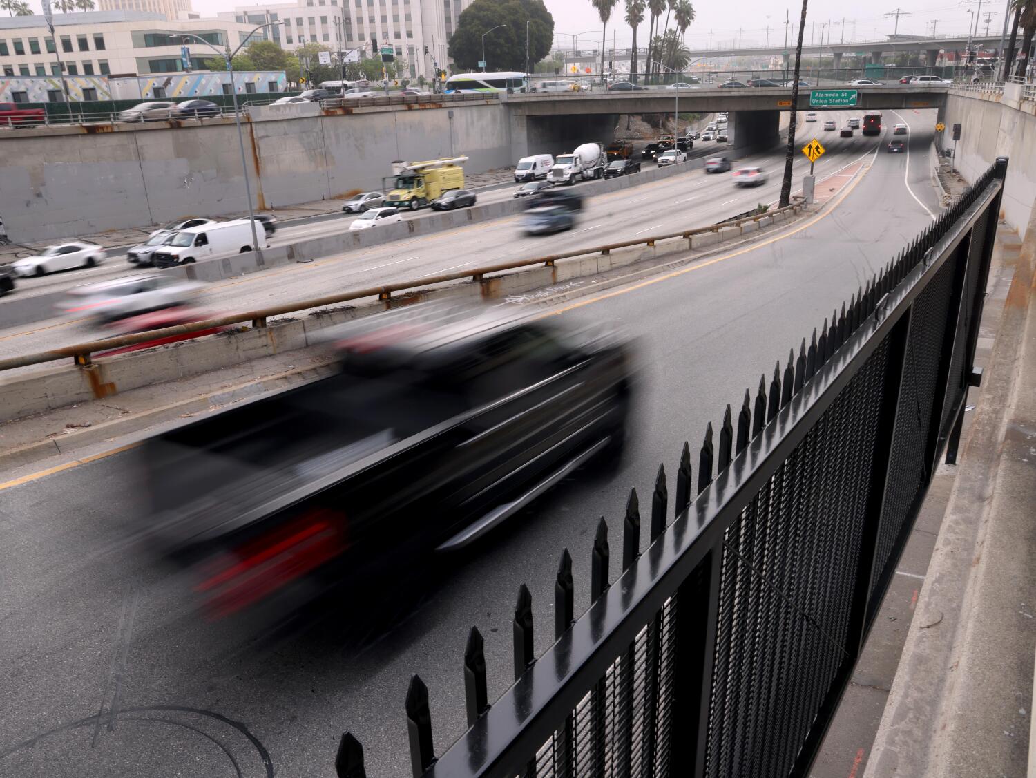
Los Angeles and the Endless Drizzle
Down south, the story is less about shoveling and more about windshield wipers. Los Angeles isn't getting a blizzard, but it’s getting that persistent, annoying drizzle that makes the 405 a parking lot.
The temperature drop is the real kicker. Angelenos are used to 75-degree days by now. Instead, daytime highs are struggling to break 60. That might sound like a joke to people in Chicago, but in a city built for heat, it changes everything. The marine layer is thick, heavy, and refuses to budge.
The Impact on Local Infrastructure
You might think a little drizzle is harmless. It’s not. California roads accumulate oil and grease during the dry spells. When the first few hours of rain hit, those roads become ice-rinks. Combine that with the fact that many SoCal drivers haven't replaced their wiper blades in two years, and you have a recipe for chaos.
We also have to watch the hillsides. While this isn't a massive tropical deluge, the ground is already saturated from previous storms. Small mudslides and rockfalls are becoming common along the Pacific Coast Highway and in the canyons. If you’re driving through Malibu or Topanga, keep your eyes on the road, not the ocean.
How to Handle the Spring Chill
Don't pack away the heavy coats just yet. The biggest mistake people make during these late-season storms is assuming it'll be over in an hour. These systems are "showery," meaning it might be sunny for ten minutes and pouring the next.
- Check the snow levels before crossing any mountain pass. The Grapevine (I-5) is notorious for closing unexpectedly when snow levels dip.
- Watch your succulents. Many California gardeners have already put out frost-sensitive plants. If the temps drop into the 30s tonight in the valleys, those plants are toast. Cover them up.
- Slow down. It sounds simple, but the data from the California Highway Patrol shows that speed is the number one factor in wet-weather accidents. Your brakes don't work the same on oily, wet asphalt.
This weather pattern looks like it’s going to hang around for a bit. The long-range forecasts suggest a "blocked" pattern, which basically means the high pressure that usually brings us sun is stuck somewhere else. We’re the door that’s been left open to the Arctic.
Keep an eye on the local radar and don't trust the "clear skies" you see out the window at 8:00 AM. By noon, you could be looking at a completely different landscape. Check your tires, top off your wiper fluid, and maybe keep a sweater in the car. It’s going to be a long, wet week.